

- 1A vulnerability assessment is mandatory in every climate plan for an intermunicipal authority with more than 20,000 inhabitants.
- 2TACCT is the reference method recognised by the national adaptation plan, with 3 stages.
- 3Cerema's local climate zones already cover 12,000 municipalities with open access.
- 4Neither ADEME nor Cerema publishes temperature reductions in degrees for each cooling measure.
We imagine adapting a territory as a list of works: planting vegetation, removing impermeable surfaces, installing shade structures. It starts with an analytical exercise already required by regulations. Flood risk alone affects 16,000 municipalities, and in summer 2022, around a hundred municipalities without drinking water had to be supplied by tankers.
The adaptation method, step by step
Vulnerability analysis is an initial planning obligation; the three stages of the TACCT process follow, and the order matters.
Vulnerability analysis
Included in PCAET, mandatory for every intermunicipal authority with more than 20,000 inhabitants.
Compare hazards and what is at stake
Compare projected hazards with what is actually at stake in the territory (TACCT-Diag).
Phased decisions
Tipping points defined in advance, decisions sequenced over time (TACCT-Tra).
Outcome indicators
Defined during the assessment, then monitored over time.
Stage 3, evaluation, is the most frequently neglected: it is what is missing from PCAET's interim review.
Adaptation is the counterpart to mitigation, which reduces emissions under the national low-carbon strategy. The process exists, tools are available and most of its data is public and free. Official guidance remains silent on several points, starting with quantified effectiveness of cooling solutions. These gaps are identified throughout the text.
An exposed territory needs a more extensive adaptation programme. This is how we use our map of exposure across France's 35,191 municipalities: to position a territory and calibrate its effort.
1Start with the vulnerability assessment
From the regional plan to planning permission
An assessment finding becomes a rule applicable to planning permission only at the end of this process.
SDRIF in Île-de-France, PADDuC in Corsica, SAR in overseas territories.
Compatible with the regional plan.
Compatible with SCoT. This is where adaptation becomes enforceable.
Thematic versions of the local level.
What PCAET has required since 2018
The territorial climate-air-energy plan is mandatory for every intermunicipal authority with more than 20,000 inhabitants. Its content is prescribed: a carbon footprint assessment, a vulnerability analysis, an adaptation strategy with quantified sector objectives, an action programme and an evaluation system. It is revised every 6 years, with an interim review after 3 years.

Vulnerability analysis is therefore a longstanding obligation, often treated as a paperwork formality. The current change concerns its content. PCAET is the first document expected to incorporate the reference warming trajectory by 2030, when drawn up or revised, or earlier.
From SRADDET to PLU: where adaptation becomes enforceable
The 2020 ordinance establishes a simple four-level hierarchy, determining where an adaptation finding becomes a planning rule.
- SRADDET, at regional scale, or SDRIF in Île-de-France, PADDuC in Corsica and SAR in overseas territories.
- SCoT, at intermunicipal scale, which must be compatible with the regional plan.
- PLU or PLUi and municipal planning maps, compatible with SCoT. This is the level where adaptation becomes enforceable against a planning permission application.
- Sector documents, the local housing programme and mobility plan, also compatible with SCoT. This is particularly where a territory's dependence on private cars is determined.
It remains to understand how PCAET connects to this cascade, because this is where many lose their way. PCAET carries the vulnerability assessment and adaptation strategy, but is not enforceable against a planning permission application. For an orientation to become an applicable rule, it must pass down into planning documents: SCoT, then PLU.
Since 2016, every environmental impact study must also analyse the project's own vulnerability to future climatic conditions, rather than only its impacts. On the coast, the Climate and Resilience Act requires listed municipalities to map exposure to coastal retreat over 30 years, then between 30 and 100 years.
2The reference method: the TACCT process
Since 2019, ADEME has published the TACCT process, meaning territorial climate change adaptation pathways. It is the reference methodology recognised by the national adaptation plan. It has three stages, each with a guide and a supplied software tool.

Stage 1: assess impacts
TACCT-Diag structures the vulnerability assessment. The work involves comparing projected hazards with what is at stake in the territory: population, economic activities, networks, environments, then assessing each element's sensitivity. An agricultural territory under water stress and a dense urban territory subject to heat islands do not produce the same assessment from the same projections.
Stage 2: build pathways
TACCT-Tra supports dynamic planning. The concept of a pathway is the method's most operational contribution. Instead of a fixed action plan, it organises phased decisions with tipping points defined in advance. Today, you decide what will trigger more extensive adaptation tomorrow, avoiding both immediate oversizing and inaction.
Stage 3: evaluate and monitor over time
The final element provides a logical monitoring and evaluation framework and support for selecting indicators. This is the most frequently neglected stage, whose absence takes its toll at PCAET's interim review, when you must demonstrate an effect but have only a count of actions started.
The TACCT platform offers an introductory pathway, monthly webinars with use cases and a community of around 300 project officers. ADEME adds short training courses: 3 hours of e-learning for fundamentals and 14 hours over 2 days in person for implementation. Mission Adaptation, a joint service from ADEME, Cerema, the French Biodiversity Office and water agencies, was supporting 184 local authorities by mid-2026.
3Where to find data, free of charge
None of these sources requires a licence or provider. Read them from the most concise to the most detailed.
The 5 public sources for a territorial assessment
All free, all open. What varies between sources is the scale each addresses.
The first annual review of climate change impacts was published on 9 July 2026 by DGEC. A national impact portal is announced for late 2026.
ClimaDiag Commune produces 10 free pages per municipality
Météo-France's service produces a free summary of around ten pages per municipality, customisable before export, covering 5 themes: climate, natural risks, health, agriculture, tourism. Projections follow the 3 horizons of the official trajectory, 2030, 2050 and 2100, with versions for overseas territories.
DRIAS projects climate, Explore2 water resources
The DRIAS portals provide territorial climate projections, and DRIAS-Eau their hydrological implications. Explore2, completed in 2024, provides reference results on water resources up to 2100: summer flows declining by around 30% by the end of the century, winter groundwater recharge increasing across most of the country, the proportion of dry watercourses rising from 15% to 25%, and hydrological droughts affecting 20% of the territory compared with 10% today.
Géorisques puts 17 risk databases online
The portal provides 17 downloadable databases, with mapping services and APIs. For an assessment, the most useful are historical floods, clay shrink-swell mapping, whose 2026 update incorporates climate change effects, ground movements, rising groundwater and underground cavities.
ONERC indicators and the annual impact review
The National Observatory on the Effects of Global Warming publishes 27 indicators across 6 themes, from coasts to health. On 9 July 2026, France published its first annual review of climate change impacts, intended for annual publication. Its 2025 figures: €5.2 billion in natural disaster costs, 78 departments under water restrictions, 30,500 hectares burnt, and 2 heatwaves affecting 80% of the population. A national impact portal is announced for late 2026.
For a municipality, read these sources in order: first the ClimaDiag summary for the overall picture, then DRIAS and Explore2 to quantify heat and water resources at the trajectory's horizons, then Géorisques for risks already regulated and mapped, and finally ONERC indicators to place the municipality in the national trend. Half a day is enough to gather what you need to scope an assessment, without a provider or licence.
Local climate zones: 12,000 municipalities mapped
In May 2025, Cerema published a local climate zone map, produced from very-high-resolution satellite imagery and classifying the territory into 17 categories, 10 built and 7 natural. It covers 12,000 municipalities, 88 urban areas and 44 million inhabitants, freely available on data.gouv.fr with a map viewer.
12,000 municipalities already mapped, with open access
A major share of the urban population already has its heat island mapped, without commissioning anything.
- More than 5 million inhabitants in areas highly sensitive to heat
- More than 20,000 hectares with a strong or very strong heat island effect
- In cities with more than 400,000 inhabitants, half the population experiences high or very high sensitivity
More than 5 million inhabitants live in an area classified as highly sensitive to heat, a population exposure indicator. More than 20,000 hectares experience a strong or very strong heat island effect, an area indicator that does not cover the same thing as the previous one. In cities with more than 400,000 inhabitants, half the population experiences high or very high sensitivity. A local authority within this coverage therefore already has its heat island mapped, without commissioning a study.
12,000 municipalities and 44 million inhabitants are already covered by a free urban heat island map, produced by Cerema and published with open access.
4Cooling a territory: the four families of measures

The 4 families of solutions: green, blue, grey, soft
ADEME organises urban cooling solutions into 4 families: green for vegetation, blue for water, grey for materials and urban form, soft for uses and organisation. The temperature difference between a city and its countryside can reach 10 °C during hot weather, across all mechanisms. This difference measures the extent of the urban phenomenon; no intervention recovers it in full.
No official source publishes temperature reductions in degrees
Neither ADEME nor Cerema publishes a scale of effectiveness in degrees for each solution. Both bodies acknowledge this absence. A measure's effectiveness depends on urban form, local climate and the chosen combination, and cannot be reduced to transferable performance for a single intervention.
A local authority promised a quantified reduction in degrees per square metre of vegetation can therefore challenge it: this is a precision official guidance refuses to state. The only estimate published by ADEME in July 2026 concerns evapotranspiration: a mature tree in a row evapotranspires 450 litres of water per day, equivalent to 5 air conditioners operating 20 hours per day. This also reminds us that using air conditioning moves heat rather than eliminating it, and that low-energy cooling solutions are sized at neighbourhood as well as building scale.
Cerema documents cases: Bagneux, Lyon, Strasbourg
In the absence of a scale, Cerema publishes experience of removing impermeable surfaces and restoring natural spaces, in the Victor Hugo eco-district in Bagneux, Rue Garibaldi in Lyon, or Strasbourg's citizen-led removal of hard surfaces. These are documented cases to transfer with judgement. For buildings, building eco-design and RE2020 carbon calculations provide the methodological framework, although summer comfort remains calibrated against historical data.
These experiences show real combinations, with their costs, maintenance and limitations, in a given context. Good practice is to find a case with a similar climate and urban form, then transfer its orders of magnitude, rather than applying a theoretical temperature reduction per square metre. This also protects a local authority against a provider promising a quantified result that official guidance refuses to state.
5Fund and monitor adaptation
The Green Fund shrinks and doubles its flood budget
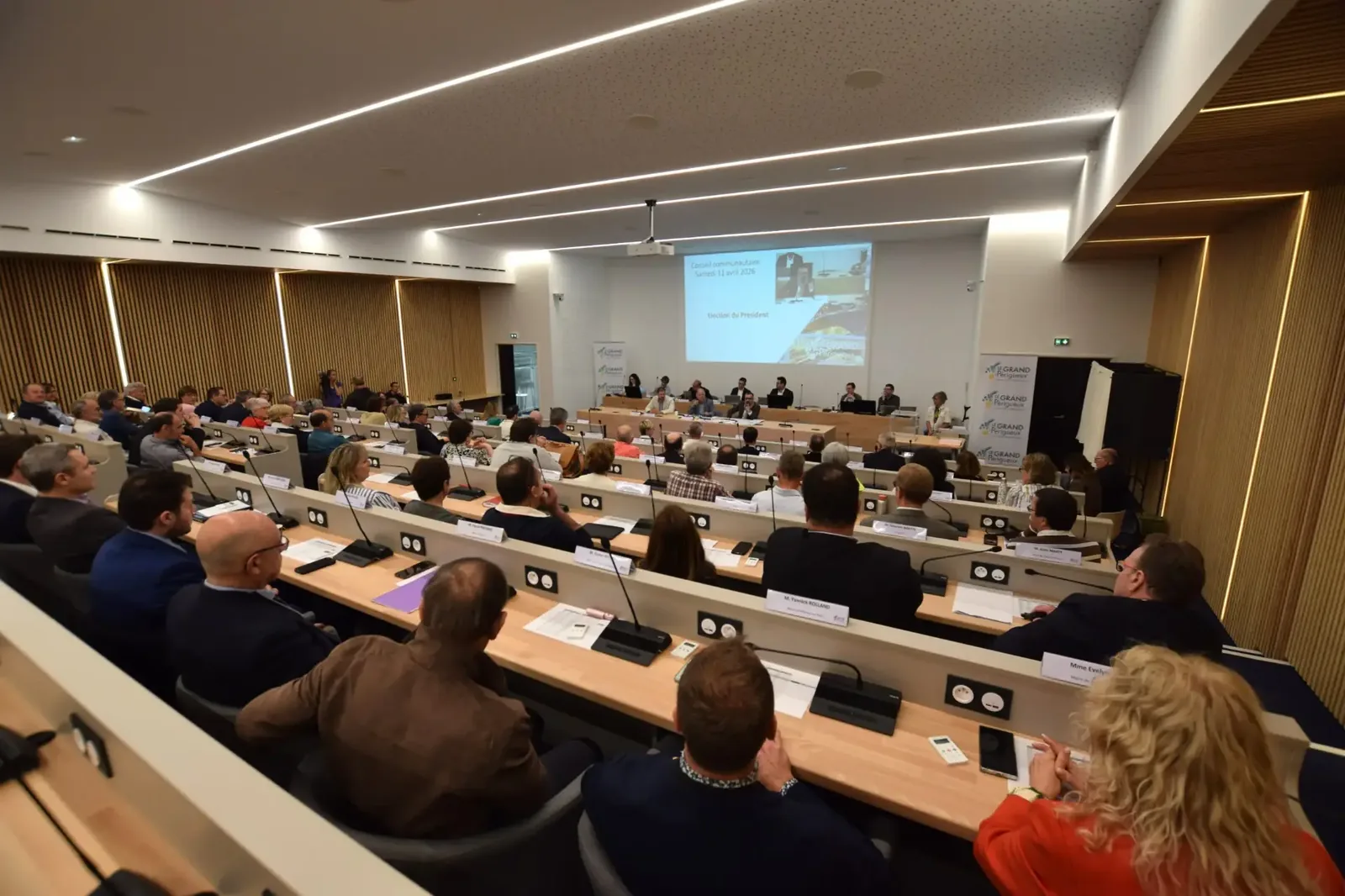
The Green Fund finances local authority projects. Its budget has fallen from €2.5 billion in 2024 to 1.15 billion in 2025, then 650 million in commitment authorisations in the 2026 budget according to the Senate report. The 2026 edition, launched on 9 April, brings flood prevention funding more than doubled to €150 million, and direct access through Aides-territoires, without a call for projects, with decentralised management by regional prefects. Since its creation, the scheme has supported more than 25,000 projects in 11,000 municipalities.
The Barnier Fund subsidises up to 100%
The Major Natural Risk Prevention Fund has €287.4 million in 2026, after 300 million in 2025. Its subsidy rates are high: 100% for an agreed acquisition or compulsory purchase, 80% for works required by a prevention plan on a dwelling, up to 36,000 euros per property, 80% for works involving underground cavities capped at 72,000 euros, and 25 to 50% for local authority studies and actions, depending on whether a prevention plan exists.
The ADEME label scores planning out of 100 points
ADEME runs a framework of 61 measures across 6 areas, scored out of 500 points. The "territorial planning" area alone represents 100 points, and one of its measures explicitly requires a vulnerability assessment with an adaptation programme covering floods, drought and heat islands. Levels range from 1 to 5 stars, corresponding to 35% to 75% of the points. For a territory, this is a self-assessment grid usable even without applying: the planning area's 100 points are enough to establish the assessment's maturity.
These schemes can be combined and sequenced: the Barnier Fund for risk prevention measures, with high subsidy rates; the Green Fund for development and restoration of natural spaces; the ADEME label to structure planning and make applications clearer to funders. They finance different items, and a local authority benefits from connecting them rather than setting them against each other.
The territory's businesses simultaneously use their own schemes, from Diag Décarbon'Action to transition funding, with the amount payable known in advance. Manufacturers address site exposure as an extension of a production site's Bilan Carbone® and reporting obligations remaining after Omnibus. Hospitals and universities often move faster because a university hospital's climate strategy and a university's carbon footprint already address business continuity during hot weather. These assessments feed into the territory's assessment.
Monitor outcomes without an official framework
There is currently no single enforceable framework for adaptation indicators. What exists is divided between ONERC's 27 indicators, the annual impact review, TACCT's methodological framework, indicators specific to each national plan measure and the ADEME label framework. None directly measures a reduction in vulnerability.
The High Council on Climate states this in its March 2025 opinion: most national plan indicators "focus on administrative monitoring of implementation" and will not measure progress in reducing exposure and vulnerability. Its July 2026 annual report adds that adaptation funding is a blind spot in planning documents.
Outcome indicators are selected during the assessment. Number of dwellings exposed to more than 25 tropical nights, share of the population within 300 metres of a cool area, volume extracted relative to available resources in a dry year. These metrics are defined once, then monitored, exactly as emissions assessment indicators are monitored from one assessment to the next, with the same comparability requirement as monitoring a reduction plan.
6Key takeaways
- A vulnerability assessment is already mandatory in the PCAET of every intermunicipal authority with more than 20,000 inhabitants, revised every 6 years.
- TACCT is the reference method, in 3 stages: assess, build pathways with tipping points, evaluate. The third stage is the one skipped and missing from the review.
- The necessary data is public and free: ClimaDiag Commune for the summary, DRIAS and Explore2 for detail, Géorisques for zoning, ONERC for indicators.
- 12,000 municipalities already have their heat islands mapped through Cerema's local climate zones, with open access.
- No effectiveness scale in degrees exists for cooling measures, and ADEME and Cerema acknowledge this position. Be wary of anyone promising one.
- Funding falls while needs rise: Green Fund from 2.5 billion in 2024 to 650 million in commitments in 2026, Barnier Fund at 287.4 million.
The process described here leads to prioritisation: which elements are most sensitive, which decisions must be taken now, which can await a tipping point defined in advance. Businesses based in the territory perform the same exercise at their scale, with their own obligations and deadlines, and both assessments benefit from dialogue, if only because they use the same projections.
- Ministry for the Ecological Transition · Regulatory adaptation framework, PCAET and planning documents ↗
- ADEME · The TACCT process, territorial climate change adaptation pathways ↗
- Météo-France · ClimaDiag Commune ↗
- Ministry for the Ecological Transition · Explore2, climate change impacts on water resources by 2100 ↗
- Cerema · Local climate zones, an open-access tool for viewing heat sensitivity ↗
- Ministry for the Ecological Transition · National Observatory on the Effects of Global Warming, 27 indicators ↗
- Ministry for the Ecological Transition · First annual review of climate change impacts, 9 July 2026 ↗
- ADEME · Framework for the Territoire Engagé Transition Écologique label ↗
- High Council on Climate · Opinion on the 3rd National Adaptation Plan, March 2025 ↗
- High Council on Climate · 2026 annual report ↗